|
| *****SWAAG_ID***** | 634 |
| Date Entered | 02/11/2012 |
| Updated on | 02/11/2012 |
| Recorded by | Tim Laurie |
| Category | Geographical Record |
| Record Type | Geomorphology |
| Site Access | Public Access Land |
| Record Date | 01/11/2012 |
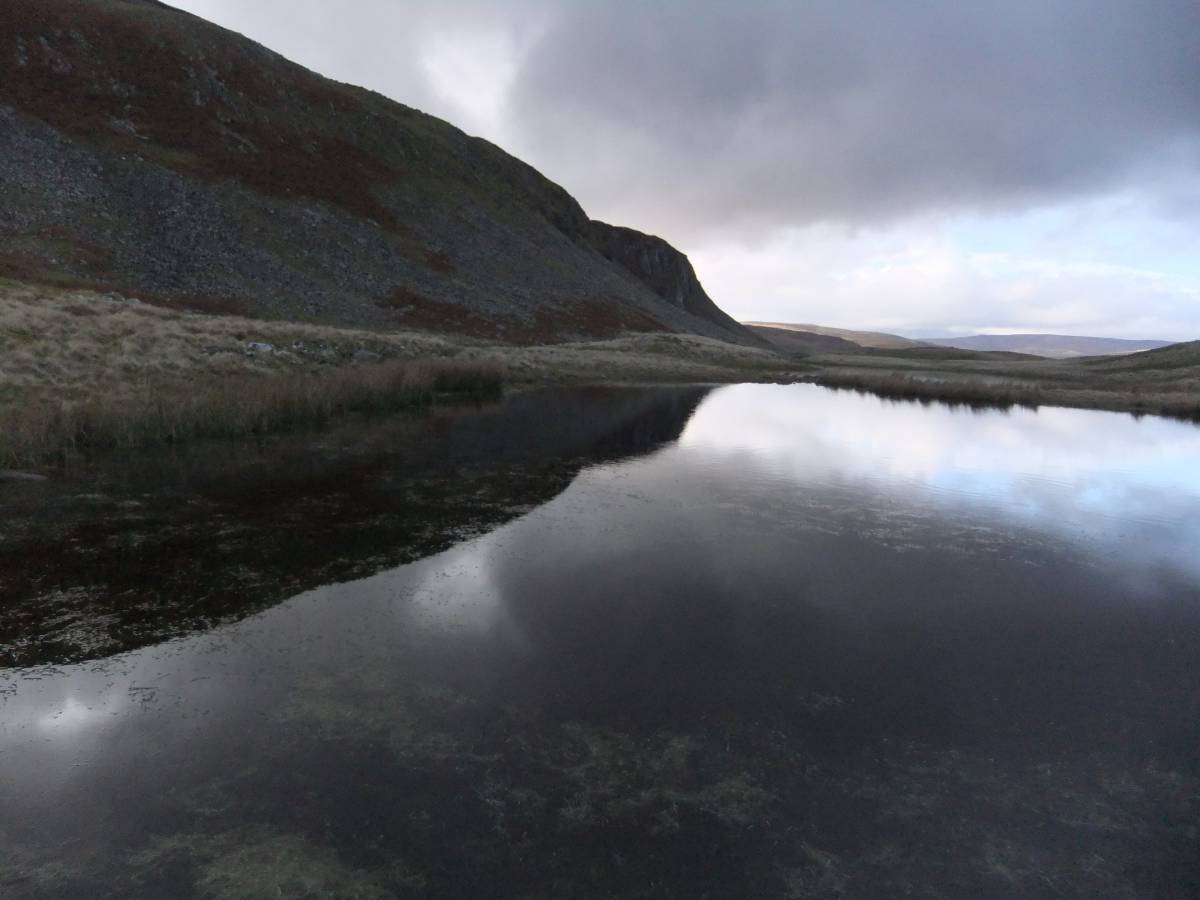
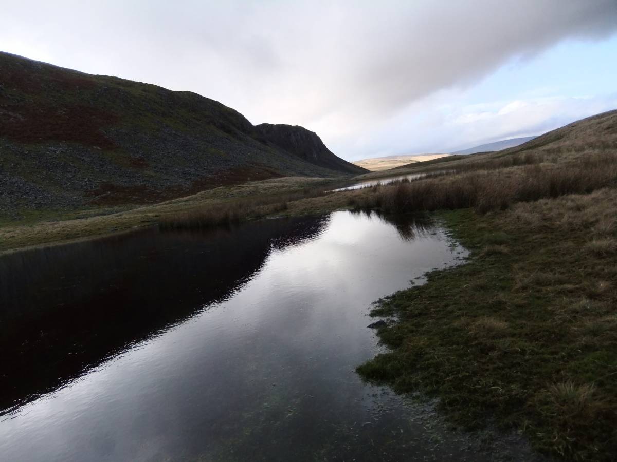
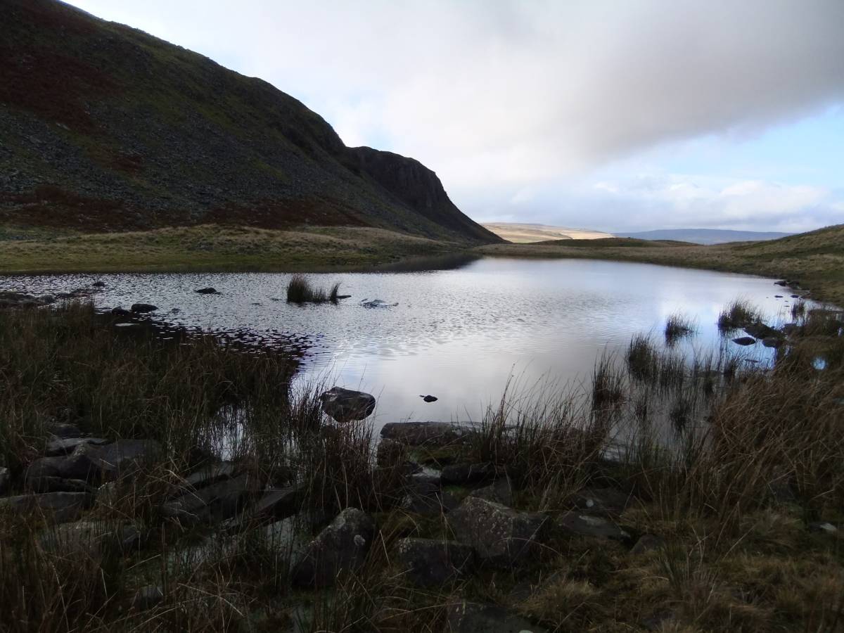
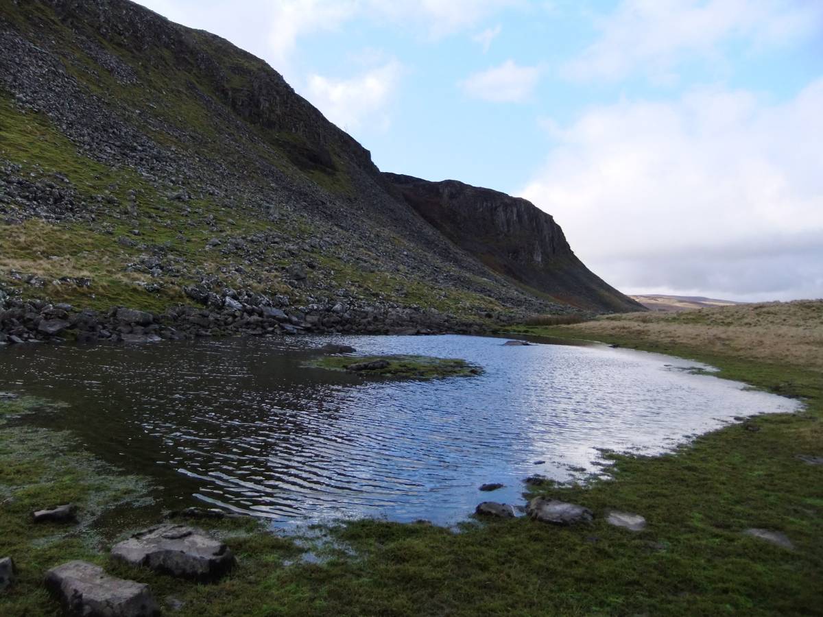
| Location | Upper Teesdale. Tarn Dub below Cronkley Scar |
| Civil Parish | Holwick |
| Brit. National Grid | |
| Altitude | 420m |
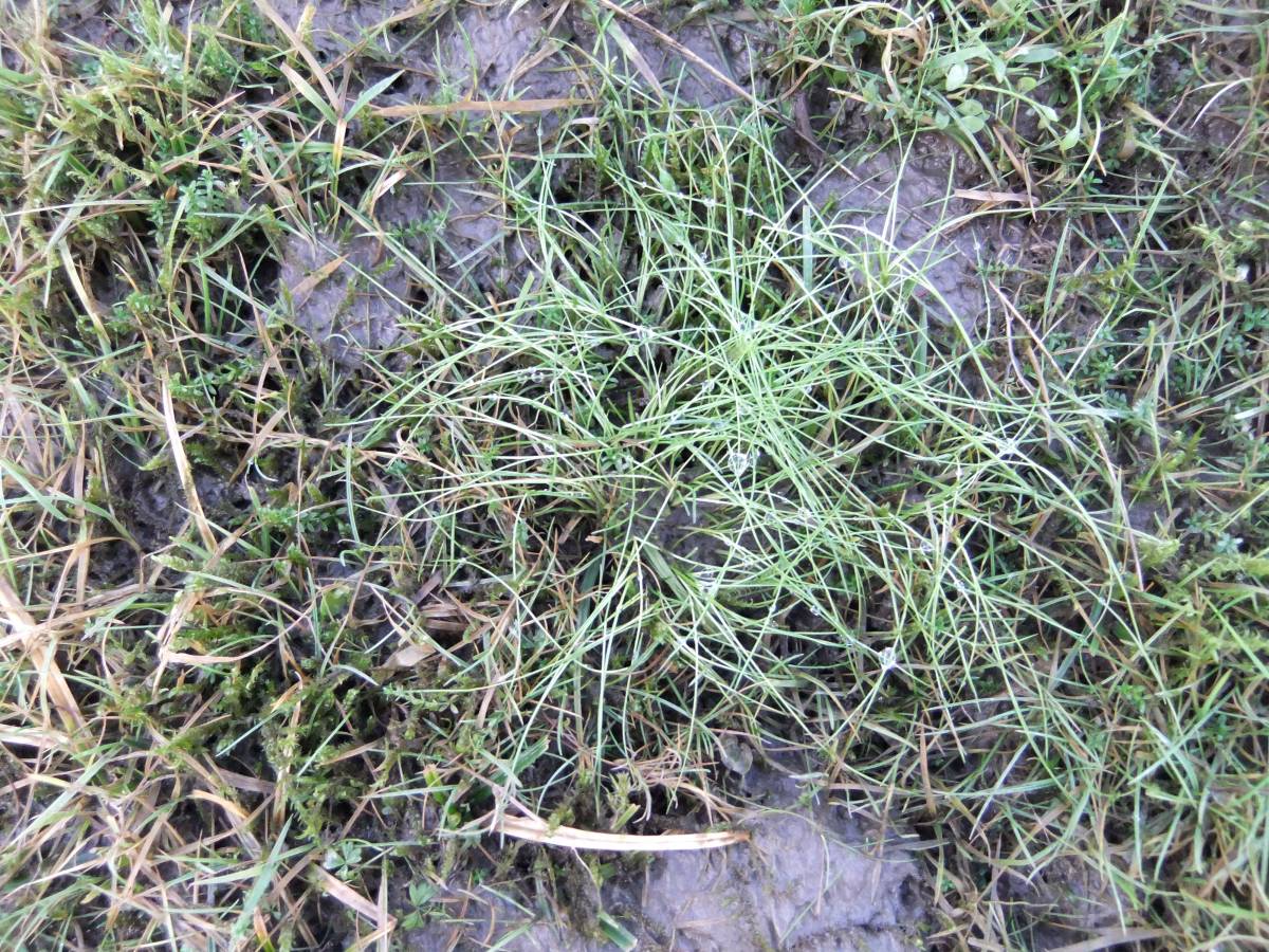
| Geology | Small tarns on kame terrace behind prominant protallus rampart at the front of Cronkley Scar. |
| Record Name | Upper Teesdale. Small tarns below Cronkley Scar. |
| Record Description | Small tarns below Cronkley Scar, a hidden lake district! |
| Dimensions | See photos |
| Image 1 ID | 3580 Click image to enlarge |
| Image 1 Description | |  |
| Image 2 ID | 3581 Click image to enlarge |
| Image 2 Description | | 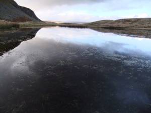 |
| Image 3 ID | 3582 Click image to enlarge |
| Image 3 Description | | 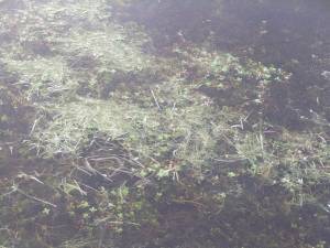 |
| Image 4 ID | 3583 Click image to enlarge |
| Image 4 Description | |  |
| Image 5 ID | 3584 Click image to enlarge |
| Image 5 Description | |  |
| Image 6 ID | 3585 Click image to enlarge |
| Image 6 Description | | 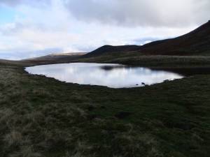 |
| Image 7 ID | 3586 Click image to enlarge |
| Image 7 Description | |  |
| Image 8 ID | 3587 Click image to enlarge |
| Image 8 Description | |  |
| Image 9 ID | 3588 Click image to enlarge |
| Image 9 Description | |  |